

Have you ever wondered if Australia would fit inside the state of Texas? (It doesn’t)
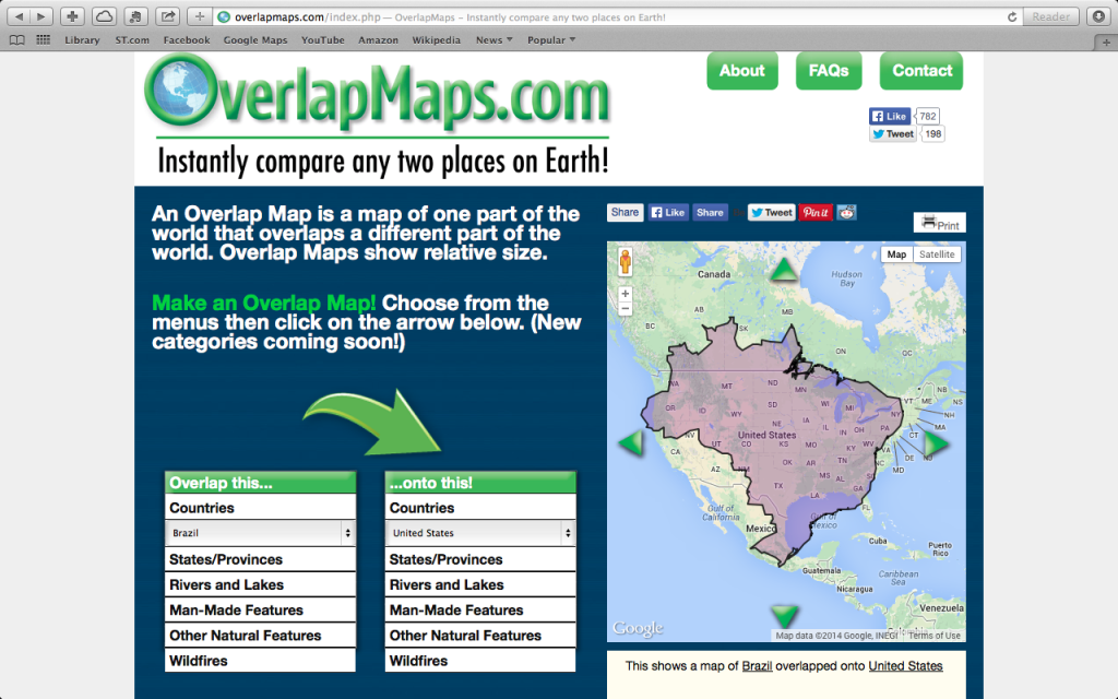
What about Brazil? I’ve always thought it was smaller than the continental US. It turns out it’s very similar in size.
I have just been introduced to a fun geography website: OverlapMaps.com.
OverlapMaps is a very simple, entertaining, and educational website. You select a country, state, river or lake, and then select another geographical area to compare. With a click of the green arrow, a comparison map is generated.
Pretty neat, isn’t it?
The use of OverlapMaps is free so go and try it out. I’ll wait.
Fun isn’t it?
The website is free, but if you want to give your students a little direction, I recommend the OverlapMaps.com Activity Sheets. Right now, Educents has a special deal on the sheets. The e-book contains instructions for using OverlapMaps, plus 10 lessons that use OverlapMaps to learn about continents, oceans, countries, and states. It’s a good value at only $4.99. That’s 60% off the regular price!
*Disclosure: This post contains an affiliate link. If you purchase the e-book, I’ll receive a small commission from Educents.
So what did you find out?
Will Germany fit in the state of Texas?
What’s the largest country that will fit in Alaska?

By Kristen H.